The name Blouberg (literally meaning blue mountain) is derived from Blaauwberg, a nearby mountain.
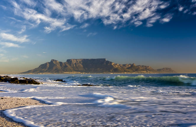
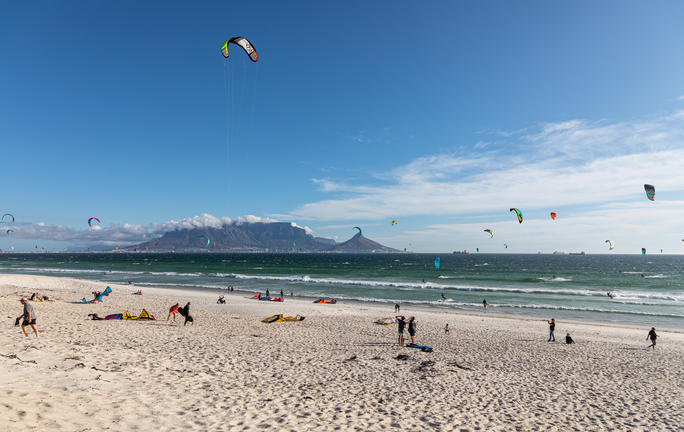
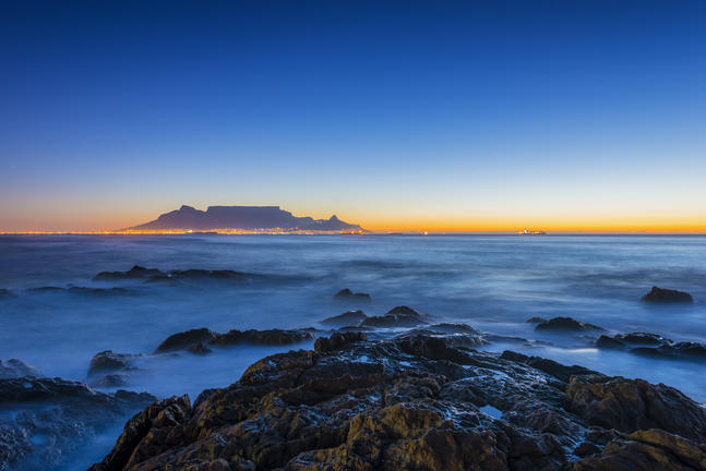
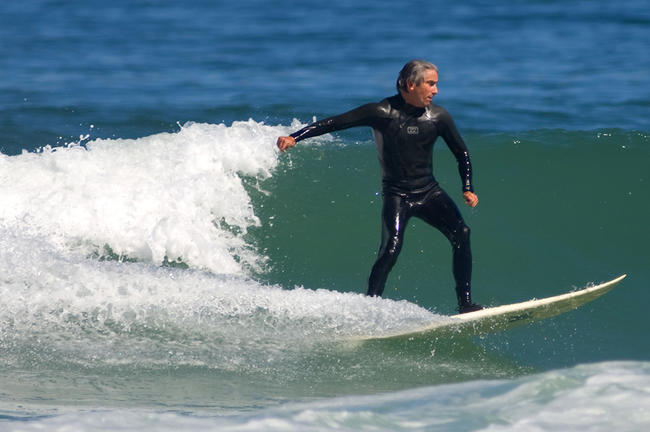
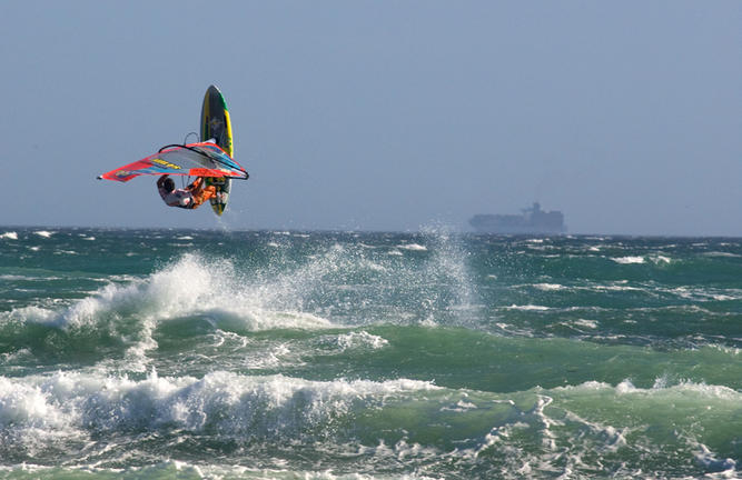
Blouberg is situated just south of Cape Town, along the coast. It is a popular location for a classic view of Table Mountain across the bay. Robben Island is located 6,9 km west of the coast of Bloubergstrand.
The wider Blouberg region is an area which includes suburbs such as Parklands North, Sunningdale, Waves Edge, Parklands, West Beach, Blouberg Rise, Bloubergstrand, Bloubergrant, Big Bay, Flamingo Vlei, Table View, Parklands East, Sagewood, Sandown, Sunridge, Table View, West Riding, and Blouberg Sands.
The area also has historical significance as site of the Battle of Bloubergstrand. In 1806 the British stormed the Cape’s west coast and defeated the Dutch on Blouberg Hill, a victory which led to the second British occupation of the colony.
The commute to Cape Town’s CBD is approximately one hour in peak traffic and a mere 25 minutes out of peak traffic. The advantage of living here is that the MyCiti bus service has most of this area covered, and you can choose to use this instead of driving to and from the city.
"Harry die Strandloper", or Hadah, was the leader of the Goringhaikonas, who were the first people documented to live in Blouberg. Because of Hadah’s entrusted duties to deliver letters to the British seafaring community, he became the first postmaster in South Africa.
In 1806, the first casualties of the Battle of Blaauwberg drowned when their boat was driven by the large surf into the rocky point at the end of Stadler road and it capsized. The invading British forces went on to defeat the defending Dutch forces and subsequently occupied the whole of the Cape Colony. This was an initial step in the major colonisation that took place throughout southern Africa.