The Tongariro Alpine Crossing is most commonly walked from Mangatepopo in the Ruapehu region to Ketetahi Hot Springs, due to the Mangatepopo end being higher in altitude than the Ketetahi Hot Springs end, therefore requiring less climbing. The crossing takes about seven hours of steady walking to complete in good weather, taking longer in winter or if walked from the Ketetahi end.
The crossing is a linear journey, starting on the west side of Mount Tongariro and finishing on the north side. As a result, returning to the western end requires either retracing the entire 19,4 km crossing, or walking 26 km via State Highways 46 and 47 back to the other trail head.
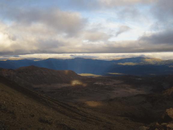
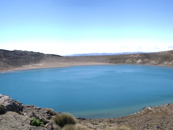
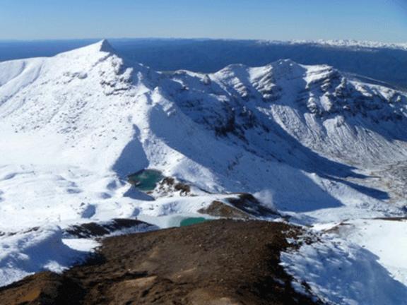
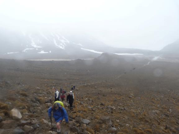
The track begins at the western end near the Mangatepopo Hut with a low gradient until the foot of the steep Tongariro saddle. After the climb to the saddle, the path takes descents and ascents into and back out of two different craters, passing the Emerald Lakes and along the edge of the Blue Lake. The last two hours of the walk involve a long descent down the northern flank of the volcano, passing the Ketetahi Hot Springs.
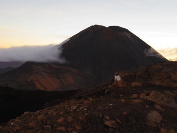
Mount Ngauruhoe can be climbed as a side trip from the main crossing. In summer the flanks of Mount Ngauruhoe are mostly exposed, loose tephra, lapilli and ash which is very difficult to walk on and requires a considerable energy expenditure compared to walking on solid material.